After several weeks of snowstorms and heavy rains, recent mudslides that destroyed homes in Bellevue and Seattle serve as a reminder of mudslides that have destroyed homes here.
About 25 years ago a mudslide in Rolling Bay took the lives of a family in January of 1997, and last year the Poulsbo Fire Department evacuated eight homes following a landslide in Seclusion Cove.
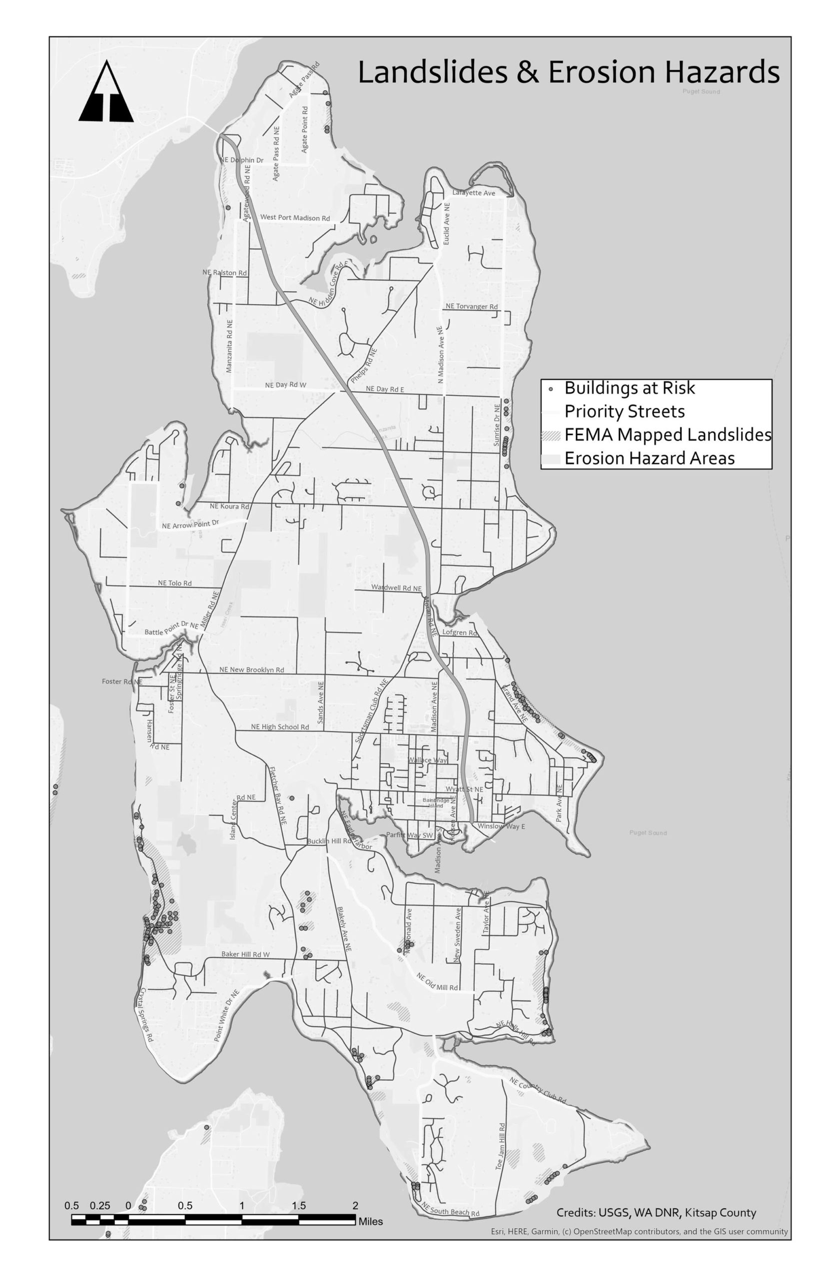
Protecting the public from landslides on Bainbridge Island is a priority for city manager Blair King, who works with different teams to monitor hazardous areas.
“At the moment, Public Works is currently investigating a small slide that occurred recently near Wing Point Road, where a sewer main was exposed and may need to be secured,” King said.
Last season the city identified a slide that had the potential for expansion on Yeomalt Point Drive, and the City Council granted permission to accelerate repairs. The slide was mitigated in the fall with a retaining wall, and additional drainage improvements are planned for the spring.
King said land-use regulations are the first step in protecting public health and safety against mudslides. The city relies on the Public Works Department Maintenance and Operations personnel, along with Bainbridge Island Police Department patrols who regularly work in areas near Rolling Bay, Sunrise Drive, Rockaway Beach, Toe Jam Hill and Logg Road to actively monitor the areas and take note of changes in slope conditions.
“They are our front-line eyes,” King said.
The city’s Municipal Code defines hillsides and steep slopes as critical areas. Critical areas include geologically hazardous areas: erosion hazard, landslide hazard, and, seismic hazard areas (including fault and liquefaction hazard areas).
During development review, the city implements goals, policies and standards for geologically hazardous areas and includes geotechnical review, soils studies and specific site analysis.
Before any building permit is issued applicable building code provisions for design, stability and safety are implemented and verified. No site disturbance or development is allowed without first obtaining proper review and permits.
The city uses an erosion and landslide map to show potential areas of impact, which it uses for outreach and training events.